Garmin GPSMAP 1022 Multifunction Display|010-01740-00Get wider viewing angles on a vivid 10 colour display. These are compatible with premium maps and charts for the best in Garmin navigation. Share information among multiple units, thanks to Garmin Marine Network support. See fluid position and heading changes with update rates of 10 times per second. Easily transfer waypoints, tracks and routes from your other GPS devices. See whats around your boat with built-in sonar capabilities on selected models (transducers sold separately). BUILT-IN ANT CONNECTIVITYEnjoy built-in ANT wireless connectivity directly to your compatible Garmin devices such as quatix marine watches, gWind Wireless 2 transducers, GNX Wind marine instruments and wireless remote controls. CONNECTED ACTIVECAPTAIN APPBuilt in Wi-Fi technology gives you access to the free all-in-one ActiveCaptain app, so you can manage your marine experience from nearly anywhere on your compatible smartphone. GARMIN SAILASSIST FEATUREUse the polar table to view important data fields to help you trim your sails for maximum speed and efficiency. You can also see laylines, set and drift, true and apparent wind data (sensor sold separately), and more. CHARTS AND MAPSBring a fresh new look and feel to your chartplotter with optional Garmin Navionics+ or premium Garmin Navionics Vision+ cartography featuring integrated coastal/inland content, access to daily updates, Auto Guidance+ technology1 and more. SMOOTH TRACKINGThe fast, responsive built-in 10 Hz GPS and GLONASS receiver refreshes your position and heading 10 times each second to make your movement on the screen more fluid. NETWORK CAPABLEThe GPSMAP chartplotters are fully network capable for the Garmin Marine Network and NMEA 2000 networking plus NMEA 0183 technology support. GPX WAYPOINTS TRANSFEREasily transfer waypoints, tracks or frequently used routes from other devices via industry standard GPX software formatting. COMPLETE NETWORK SHARINGGarmin Marine Network support allows sharing of sonar, maps, user data, dome or open-array radar, and Panoptix and LiveScope sonars among multiple units. ENGINE CONNECTIVITYRead RPMs, fuel flow, temperature, trim and other important information at a glance. Check with your engine manufacturer for additional hardware needs.10-inch colour display with Keypad Interface and Multifunction Control Knob Display – 224 x 125 cm | Resolution 1024 x 600 pixels | WSVGA display Built-in Wi-Fi High-sensitivity internal 10 Hz GPS and GLONASS receiver Waypoints – 5,000 | Routes – 100 | Track log – 50,000 points; 50 saved tracks Garmin SmartMode compatible (customisable monitor presets) SiriusXM Weather & Radio compatible Supports AIS (tracks target ships position) Supports DSC (displays position data from DSC-capable VHF radio) Garmin Meteor Audio System compatible Tide tables Supports FUSION-Link compatible radios GSD Black Box sonar support GCV Black Box sonar support BlueChart Mobile (planning) compatible Garmin ActiveCaptaincompatible GRID (Garmin Remote Input Device) compatible VIRB Compatible gWind wireless 2 compatible Wireless remote compatible Mounting options – Bail, flat or flush 2 microSD card slots Network – NMEA 2000 and NMEA 0183 support NMEA 0183 – input ports – 1 (Differential) | output ports – 1 (Differential) Video input ports – 1 BNC 2x Garmin Marine Network ports Dimensions – 318 x 185 x 69 cm Weight – 1.85 KgMANUALS & GUIDES*If you have trouble opening the pdf file, please try installing Adobe Acrobat reader on your device.
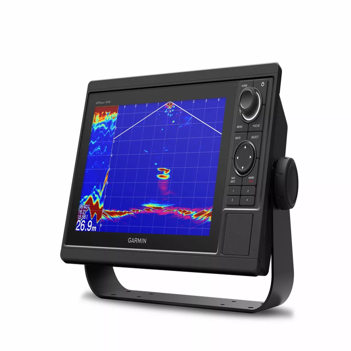
Garmin GPSMAP 1022 Multifunction Display
Original price was: $117.60.$84.87Current price is: $84.87.
Sale!Related products

Sale!

Volvo Penta 23931432 Module
Original price was: $239.99.$165.43Current price is: $165.43.
Sale!

Joint en caoutchouc 3M 12,5 x 3 mm 15 m
Original price was: $30.84.$20.36Current price is: $20.36.
Sale!

Volvo Penta 21412620 Oil Hose
Original price was: $83.12.$53.30Current price is: $53.30.
Sale!

Mercury – Mercruiser 17-822869001 Pin-Trim
Original price was: $6.48.$4.88Current price is: $4.88.
Sale!
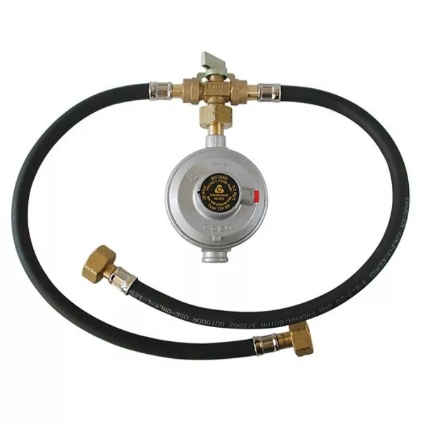
AG Manual Changeover Kit with Butane 734BR Regulator
Original price was: $25.20.$13.89Current price is: $13.89.
Sale!
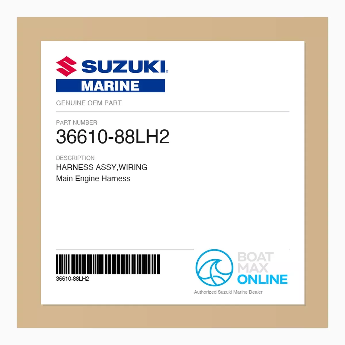
Suzuki OEM Wiring Harness Assembly 36610-88LH2 | Main Engine Harness
Original price was: $119.20.$74.22Current price is: $74.22.
Sale!